The "Power of VPS"

Standard GPS

Fails indoors, drifts in "urban canyons," requires satellites

aryve Find (VPS)

Uses the environment's visual features to calculate position locally.

Key Stat

Centimeter precision where traditional signals fail.

How it Works

The 3-Step Deployment

Connect

Link your device (Robot, Smartphone, Camera) to aryve Vision.

Scan

The device "sees" its environment through the lens.

Track

Instant, real-time location data is streamed to your dashboard or API.

Industry-Specific Value

Airlines

ULD & Equipment Tracking

Locate Unit Load Devices (ULDs) and high-value cabin equipment in real-time using existing mobile devices or mounted cameras.

Airports

Ground Support (GSE) Visibility

Achieve centimeter accuracy for baggage tractors and stairs across the apron and hangars where GPS signals are often blocked or reflected.

Airport Service Providers

Workforce & Asset Optimization

Streamline cleaning and maintenance workflows by tracking equipment location without the cost of installing thousands of Bluetooth beacons.

Engineering, Procurement, & Construction

Site Safety & Resource Mapping

Monitor the real-time location of machinery and personnel in complex indoor or subterranean build sites using standard camera-equipped gear.

Malls

Hyper-Local Analytics

Analyze foot traffic patterns and automate service robot navigation (like security or cleaning bots) using the mall’s existing digital infrastructure.

Museums

Interactive Guest Journeys

Power high-precision indoor navigation for visitor apps, enabling centimeter accuracy for location-based exhibits without distracting physical hardware.

Key Capabilities

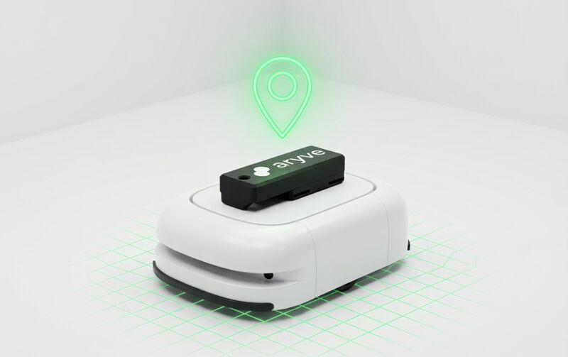
Technical Compatibility

Frame 318 (6)

Hardware Agnostic

Works with iOS, Android, Linux, and ROS (Robot Operating System).

aryve-solution__key-icon-2

API-First

Easily push location data into existing WMS (Warehouse Management Systems) or ERPs.

aryve-solution__key-icon-1

Scale Ready

Add 100 devices as easily as you add one.